search
Brussels street map
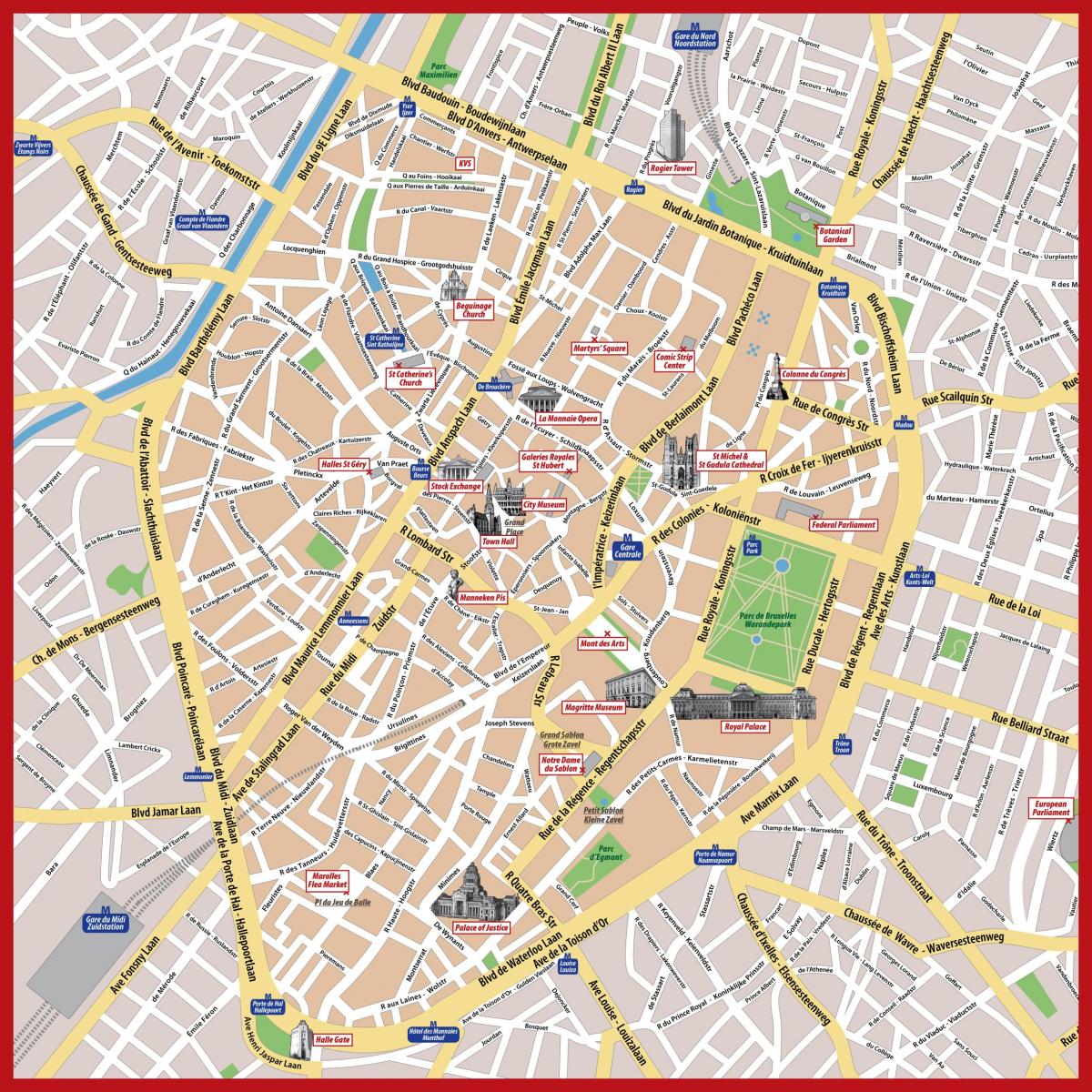
Bruxelles street map. Brussels street map (Belgium) to print. Brussels street map (Belgium) to download. A short trip down street de la Cigogne, in the Dansaert district, is like a little breath of the countryside in Brussels. This small, 70m long street exudes charm. Its residents place tables and chairs outside as soon as the sun comes out. Near Sablon is the very old Rue Saint Anne as its shown in Brussels street map, which is well worth a detour. It already featured on maps dating from 1640. In 1798, it was called the street de la Fécondité. One of its residents is said to have given birth to quintuplets.
Near the Palace of Fine Arts of Brussels, below street Ravenstein, is a small cul-de-sac dating back to the 14th century. At the time, it was called the street d’Angleterre. Street Terarken, it houses a beautiful Renaissance bretèche, the corbelled construction of the Hôtel Ravenstein as its mentioned in Brussels street map. You will have to take a covered passage in the street de Flandre to discover this magnificent baroque building. Sculpted by Brussels architect Jean Cosyn in 1697, La Bellone is today a multi-purpose centre dedicated to entertainment and the performing arts.
Being both a shopping street and a sightseeing district, the royal galeries are worth a visit even if you do not get to buy anything. Selected as the second busiest shopping street of Brussels, Chaussée d’Ixelles never lets you down when it comes to getting what you want. Brussels fanciest shopping street is located just some minutes far from the center as you can see in Brussels street map. In the first 500m you will encounter the most luxurious fashion stores and boutiques such as Louis Vuitton, Tiffany and Co, Dior and more.


