
search
Brussels geographic map
Bruxelles geographic map. Brussels geographic map (Belgium) to print. Brussels geographic map (Belgium) to download. Brussels as its shown in Brussels geographic map is bordered by the Wallonia and Flemish regions, enclosed by the Valley of Senne River and lies approximately 60 miles (97km) away from the North Sea. The city of Brussels is shaped roughly like a geographic pentagon and is surrounded by wide boulevards (Petit Ring) built on the site of old city walls. Brussels city is divided into two general geographic segments – Lower Town and Upper Town. The Lower Town is based in the Senne Valley and is the main hub for businesses and industries and includes the historic heritage of the city. The upper town, on the valley's east slope, is principally residential and governmental holding the Parliament building, Royal Palace and offices of the ministries.
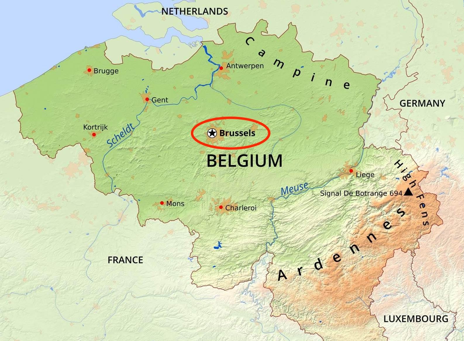
The capital region of Brussels is geographically located in the northern centre of Belgium which is surrounded by the countries like Germany, Luxembourg, France and the Netherlands in Western Europe as its mentioned in Brussels geographic map. Due to its proximity to the coast, Brussels experiences a mild nautical climate all year long which unfortunately results in lots of grey skies and rainy weather.