
search
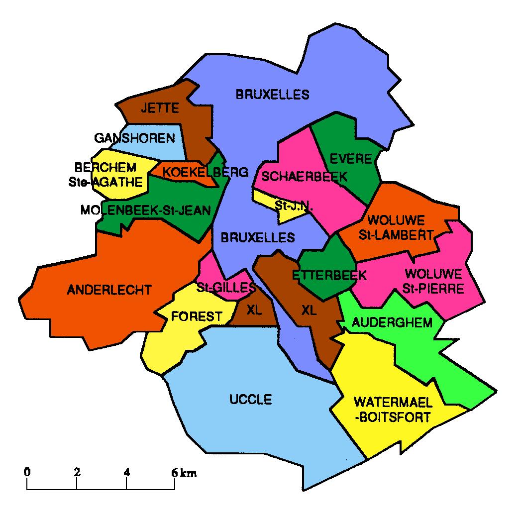
Brussels area map
Map of Brussels area. Brussels area map (Belgium) to print. Brussels area map (Belgium) to download. The region of Brussels-Capital is composed of 19 areas but most of the tourist attractions concentrate in a few of them, the most central ones: Brussels-City, Ixelles, Saint-Gilles, Schaerbeek and Koekelberg. Tourists will find the highest concentration of attractions within the Old Town area, Brussels historic center, which is split into the Upper Town (Haut de la Ville) and Lower Town (Bas de la Ville) as its shown in Brussels area map. This is the best area to stay in Brussels if you want to be in the heart of the action.
The metropolis of Brussels has a population of more than 2.1 million residents and is the largest city in Belgium. Brussels is the most densely populated area in the country and is a region of high wealth that includes residents from both the French and Flemish communities. Many different areas of the city of Brussels offer attractive and comfortable accommodations for visitors, with something suitable for every preference and traveling budget (see Brussels area map).