search
Brussels road map
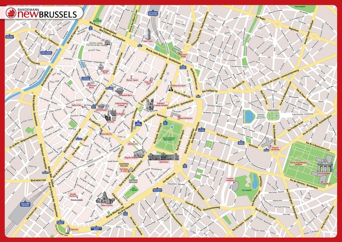
Bruxelles road map. Brussels road map (Belgium) to print. Brussels road map (Belgium) to download. Brussels is the hub of the fan of old national roads, the principal ones being clockwise the road N1 (N to Breda), N2 (E to Maastricht), N3 (E to Aachen), N4 (SE to Luxembourg) N5 (S to Rheims), N6 (SW to Maubeuge), N8 (W to Koksijde) and N9 (NW to Ostend) as its shown in Brussels road map. Usually named chaussées/steenwegen, these Brussels roads normally run in a straight line, but on occasion lose themselves in a maze of narrow shopping streets.
The city centre, sometimes known as "the pentagon", is surrounded by an inner ring road, the "small ring" (French: petite ceinture, Dutch: kleine ring ), a sequence of boulevards formally numbered R20 as its mentioned in Brussels road map. These Brussels roads were built upon the site of the second set of city walls following their demolition. Metro line 2 runs under much of these Brussels road.


