
search
Brussels neighborhood map
Bruxelles neighborhood map. Brussels neighborhood map (Belgium) to print. Brussels neighborhood map (Belgium) to download. The upper town neighborhood of Sablon sits to the south of the Brussels city center as its shown in Brussels neighborhood map and is known for its picturesque Gothic architecture and narrow streets. Sablon is also where you will find most of Brussels fine chocolatiers, as well as many antique shops. Beyond this is the Marolles district, a traditionally working-class neighborhood, where tourists can find authentic restaurants and markets. Those looking for an upscale shopping and dining district can travel from here down Avenue Louise, which separates the suburban Uccle and Ixelles neighborhoods.
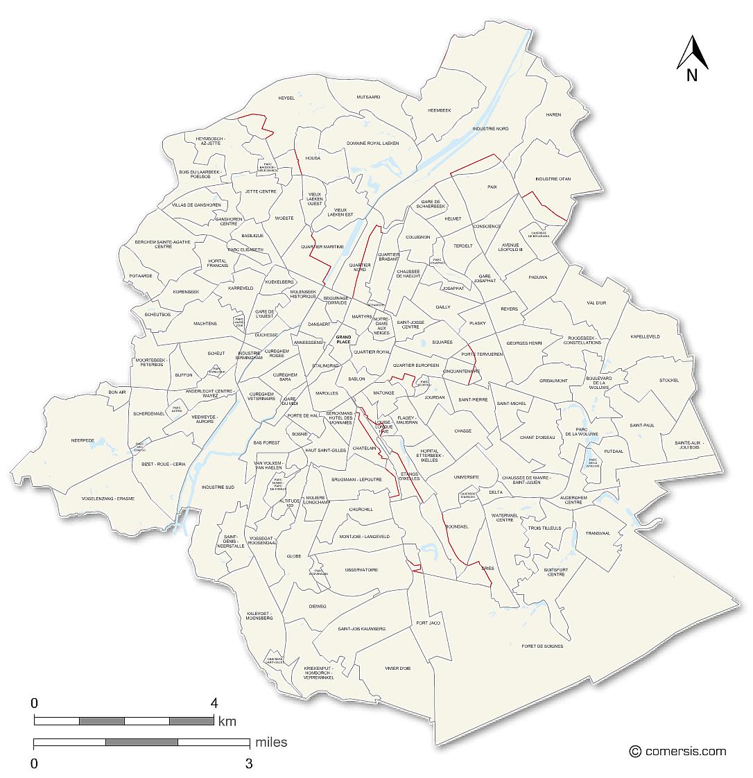
There are many diverse neighborhoods to consider when looking where to stay in Brussels as its mentioned in Brussels neighborhood map. There are elite Brussels neighborhoods that are typically more expensive but offer numerous amenities, beautiful architecture, and large expat populations, such as Etterbeek, Uccle, Woluwe-Saint-Lambert, and Ixelles; if budget is a factor, you can still find a great choice of Brussels neighborhoods at lower prices, such as in Schaarbeek and Anderlecht, traditionally working-class and multicultural neighborhoods.